Navigating the Evolution: From Paper Maps to GPS – Traxxis Unveils the Journey of Vehicle GPS Tracking
Remember when we used to plot our routes using paper maps? Now, with Google Maps just a tap away, vehicle tracking has advanced significantly. GPS tracking devices have completely transformed how we travel, offering real-time updates and accurate directions. This technology goes beyond personal convenience—it’s a major asset for businesses aiming to streamline their fleet operations. Traxxis GPS showcases the most key features and milestones in vehicle tracking’s evolution, demonstrating how technology has continually reshaped our approach to navigation and logistics. This shift underscores a broader narrative of technological advancement, seamlessly integrating into daily life and industry.
The Age of Paper Maps
Drivers used paper maps for navigation not so long ago. These maps had numerous drawbacks even though they gave road journeys a feeling of excitement. They were bulky, tough to fold, and often led to wrong turns. You needed a good sense of direction and solid map-reading skills, and even a small error could get you lost. Now, GPS tracking devices have made navigation effortless, doing away with those old frustrations. This advancement is a boon to fleet management because it keeps vehicles on track and operating efficiently. The evolution from paper to digital has truly transformed the way we travel and many insurance companies manage transportation.
Enter Radio-Based Vehicle Tracking System
Radio-based tracking systems came along through technological advancements. They offer a step up from paper maps. These systems used radio signals to monitor vehicle locations. They had their limitations. The range was often restricted, and reliability could be an issue in remote areas with weak signals. Enter the modern car GPS tracker. These GPS trackers deliver outstanding accuracy and coverage, simplifying long-distance tracking and navigation in areas with poor signals. This technology has dramatically improved how we keep an eye on our vehicles and manage our journeys.
Satellite Navigation Emerges
The game-changer arrived with satellite navigation. This was a turning point in vehicle tracking. A GPS tracking device could now pinpoint a vehicle’s exact location, with remarkable precision. GPS trackers quickly became essential tools that revolutionized how we navigate and manage our journeys. These devices offer real-time location tracking that makes it easier than ever to stay on course for personal travel, car insurance, and business fleet management.
Traxxis GPS Trackers: Pioneering the Future of Vehicle GPS Tracking
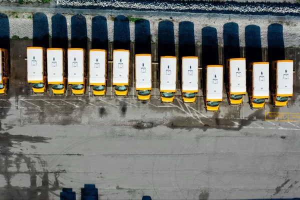
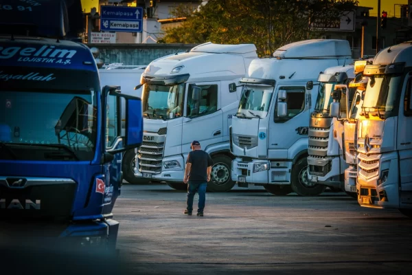
Traxxis GPS saw the promise of GPS technology early on and became a pioneer in vehicle tracking and real-time location data. This allows businesses to optimize their fleets, improve security, and increase overall efficiency. With a Traxxis GPS tracker, companies can monitor their vehicles closely, leading to better route planning and less downtime. These GPS trackers have revolutionized fleet management, making operations simpler and enabling quick issue resolution. This forward-thinking approach has positioned Traxxis GPS as a leader in the industry.
Key Features of Traxxis GPS Solutions
Real-Time GPS Tracking
Traxxis GPS enables businesses to track their vehicles in real time. A fleet manager can quickly resolve problems, redirect trucks, and improve operations while on the go using real-time alerts. This type of monitoring and tracking is a vital tool for any fleet manager looking to keep ahead of the curve because it guarantees more efficient logistics, improves security, and promotes overall productivity.
Geofencing
Customizable geofencing allows businesses to set virtual boundaries for their vehicles. If a vehicle enters or leaves these areas, instant alerts are triggered. This feature makes it easy installation make sure that you always know your vehicle location, providing peace of mind without breaking the bank. With a reasonable monthly subscription cost, you get advanced GPS tracking capabilities that keep your operations secure and efficient.
Historical Data Analysis
Traxxis GPS stores historical tracking data, providing valuable insights into the vehicle’s location, performance, route efficiency, and driver behavior, unlike most GPS trackers. This detailed location and tracking information lets businesses review past trips, spot areas for improvement, and make informed decisions to optimize operations and reduce costs. You can boost your fleet’s efficiency, making sure they operate smoothly and economically.
Mobile Integration
The Traxxis GPS mobile device and app provides fleet managers and drivers with all the data and flexibility to access vital information on the go. If you are using an iOS device or other platform, users can conveniently check their real-time GPS trackers anytime, anywhere. This seamless access guarantees that everyone stays informed and connected, making fleet management more efficient and responsive.
Final Thoughts
The journey from bulky paper maps to precise GPS technology has been truly extraordinary. Leading the way in this evolution is Traxxis GPS, offering cutting-edge solutions and other GPS vehicle trackers only that provide businesses with efficient, reliable, and secure tracking capabilities. Traxxis makes sure that vehicle monitoring is accurate and straightforward when using advanced GPS vehicle trackers only. Their GPS vehicle tracker systems provide businesses with real-time data and improved security, making fleet operations more efficient. With cutting-edge technology, Traxxis GPS will continue to create and reinvent vehicle tracking in the future, assisting companies in staying competitive.
Frequently Asked Questions
What are GPS trackers and how do they work?
GPS trackers locate a vehicle or asset precisely by using satellite signals. They make it simple for customers to keep an eye on and effectively manage their fleet by providing real-time position, speed, and direction information.
How does a GPS tracker benefit my business?
A GPS tracker enables better route planning, timely issue resolution, and overall improved efficiency. This technology helps monitor vehicles more effectively, plan routes efficiently, and quickly resolve any issues that arise. This technology makes it easier to monitor vehicles, plan routes efficiently, and address any issues quickly.
What is a vehicle GPS tracker and why should I use one?
It boosts security helps recover stolen cars and keeps fleet management efficient with real-time data and historical tracking. Using a car vehicle tracker lets you closely monitor your driving habits and fleet vehicles optimize routes and improve overall operational efficiency.
How does GPS tracking improve fleet management?
GPS vehicle tracking shows your current location and also gives insights into driver behavior and route efficiency. It helps fleet managers pick the best routes and elderly drivers make smart decisions. This leads to lower both fuel consumption and maintenance costs. Overall it boosts operational efficiency.
Are vehicle GPS trackers suitable for personal use?
Yes, vehicle GPS trackers are beneficial for personal and business use as they provide real-time vehicle location updates, enhance vehicle security, and assist in theft recovery. They offer peace of mind by allowing you to monitor your vehicle’s whereabouts at all times.
What features does a GPS vehicle tracker offer?
A GPS vehicle tracker offers many benefits: real-time tracking, geofencing, historical data analysis, and mobile app integration. These features enable precise monitoring, enhance security, and provide valuable insights for optimizing vehicle performance, fuel consumption, and route efficiency.
How does a vehicle tracking system enhance security?
A vehicle tracking system enhances security by providing real-time location data and geofencing capabilities. Instant alerts are triggered if a vehicle enters or exits predefined areas, making sure that any unauthorized movements are quickly detected and addressed.
What should I consider when choosing a GPS tracking device for my fleet?
When choosing a GPS tracking device, consider features like real-time tracking, geofencing, historical data storage, and mobile app integration. Additionally, evaluate the reliability, coverage, battery life, user interface, and monthly subscription cost to meet your specific needs.
What makes Traxxis GPS the best GPS tracker for businesses?
Traxxis GPS is the top choice for businesses because of its 22-years’ experience in the industry, the multiple tracking and fleet management software systems that you can choose from, their reliable real-time vehicle and asset tracking devices, multiple in-vehicle dash cameras, safety and compliance options for the fleet, and first class support services. A reputable company with quality choices your business deserves, backed up with white glove support and service.
Do vehicle GPS trackers require a monthly subscription?
Yes, most wirelessly enabled GPS trackers, including those from Traxxis GPS, require a monthly subscription. This monthly fee typically covers the costs of data transmission, real-time tracking, and access to advanced fleet management features through the mobile app and web platform.